Ready For Takeoff?
Contact us today for a competitive and customized quote for your business.
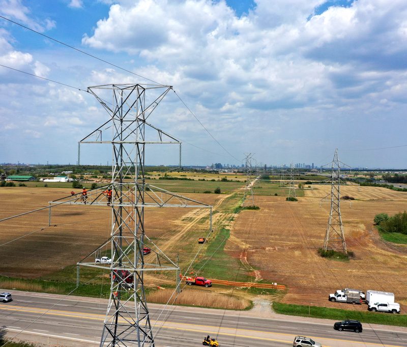
We are your number one trusted aerial photographers in the Southern Ontario region, including aerial photography in Toronto, North York, Vaughan, Barrie, Orillia, Midland, Penetang, Collingwood and all of Northern/Central Ontario. Plus we also have a national team waiting to serve those who have national interests.


Do you have a large wall in your office or home to fill? Perhaps your front reception area, board room, waiting room or office(s) wall. Consider this beautiful, detailed and unique panoramic image of Toronto. At 100% resolution the image is 10 feet high by 18.5 feet wide and can be easily cropped to fit any wall.
View Toronto Panorama 1 View Toronto Panorama 2 View Toronto Panorama 3

Do you have a large wall in your office or home to fill? Perhaps your front reception area, board room, waiting room or office(s) wall. Consider this beautiful, detailed and unique 360 degree image of Barrie. This captivating aerial panoramic image of Barrie will draw the attention of your customers and clients. They won't even feel like they are waiting as they try to find their homes or special landmarks!
Contact us today for a competitive and customized quote for your business.


© 1995-2026 Eye In The Sky Photography. All Rights Reserved.
1 (705) 739-1395 - 2906 Townline, Coldwater, Ontario, Canada

