Development Strategies
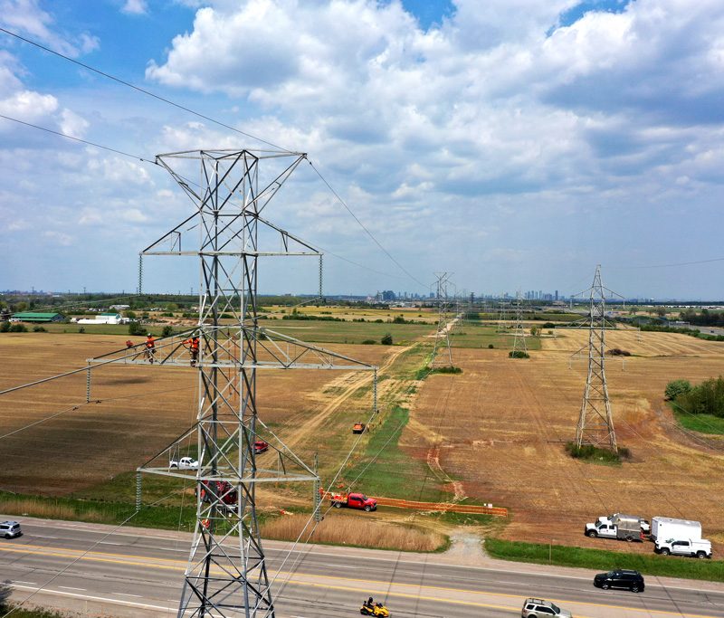
High level oblique photography
One of the most valuable tools for demonstrative exhibits.
High level oblique aerial photography is a amazing way to “Accurately” represent the subject properties at the relevant time showing overlays of proposed site planning. This Is a great tool used for real estate development strategies, as-well to have a future sight of what their development land can develop property into utilizing space for the best property layout possible.
Initial level oblique photography

Shooting high level photography to capture the initial land before the development process. In the hands of proper development agents they and utilize this full high resolution aerial capture into a accurate site plan.
Overlay real estate development strategy

Using custom software to overlay the potential property layout on the high level oblique image we are able to use this a future development strategy that is priceless for the peace of mind for true aerial accuracy.