Geo-Referencing
Google Earth is great at giving a general satellite image of the major roads and landmarks that surround a specific property, but it does not give the stunning and eye catching perspective that is achieved through aerial photography.
Google Earth can not even come remotely close to giving the user the clarity and quality of a property that an aerial photo taken with our specialized equipment can. Also, Google Earth does not provide up to date real time images, such as for monitoring construction progress. The Google Earth satellite shots used are over 6 years old or more in some cases and do not get updated frequently.
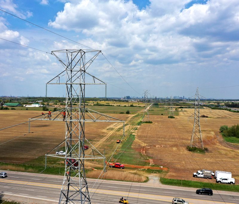
There are many advantages of aerial photography over old satellite shots, as you can see in our examples below: